

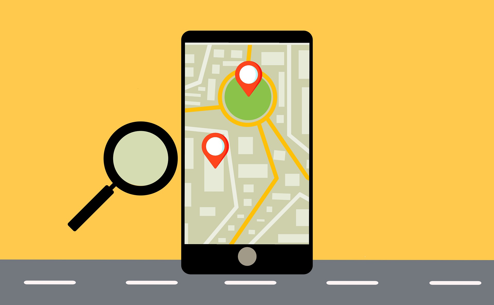
We are now living in an era where we no longer have to rely on paper maps to find our way around. Now paper maps are a thing of the past, we have been blessed with many apps and services which help us easily find our way around the UK and even abroad! Amongst these apps and services, which is the most efficient and the best to use for driving, bike riding or maybe hiking?
Sat-Nav
Sat-nav units are commonly built into new cars but can be purchased as a separate unit. The first sat-navs were introduced n the UK in 1995 but were not popular due to the inaccuracy of the roads. It was not until the year 2000 that precision GPS satellite navigation became available to use by the public. After this they became extremely popular and were used by many drivers on a daily basis.
Pros
- Sat-navs offer sophisticated navigation systems offering traffic information in real time
- They are designed to be used in cars with clear screens and offer minimal distraction
- Sat-navs can remain charged whilst being used
- Many new cars come with a sat-nav system built in as standard
- Sat-navs feature pre-installed offline maps so signal will not be an issue
Cons
- In some cases, built in sat-navs can become outdated and may not consider newly built roads leading some to get lost
- Sat-navs do not work in areas where they cannot reach a satellite, such as underwater, underground or inside of buildings
- It can be expensive to buy a sat-nav and for a high-end model you can expect to pay hundreds of pounds
Apple Maps
Apple maps was announced in 2012 to replace the Google Maps app as a default mapping service in Apple’s iOS 6 and beyond, although a lot of the first year of Apple Maps was spent solving errors in the app. Apple Maps is ever evolving and new features are still being added every day. Today there are 23.3 million active users of Apple Maps.
Pros
- Available as a free built-in app on Apple iPhones
- Available in 75 countries
- The app allows you to find your way in car, on foot, by bike and through public transport.
- You can save locations or add a pin on a destination
- You can share your ETA with others
- In some areas it shows the speed limit on that road
- The app offers lane guidance for when you are taking an exit
Cons
- The app does not offer any warnings about obstructions in the road or show what the road conditions are like
- You can only use the app when connected to Wi-Fi or whilst using mobile data
- Apple Maps uses data. Around 1.33MBs of data is used per 10 miles of using the Apple Maps app
- The Apple Maps can drain the battery life of a phone when being used, especially for long journeys
- Having a map function on an iPhone can cause users to get distracted whilst driving
- To use Apple Maps, you have to own an iPhone
Google Maps
Google Maps was launched in 2005 online as a service to see businesses and locations on an interactive map and today has 154.4 million active users. You can see the map from a top-down view or zoom in to the street view and make your way around. The satellite images are no more than 3 years old on the app and are updated regularly. In 2008 Google Maps for iOS devices and Android devices was released offering GPS turn-by-turn navigation.
Pros
- Offers 99% coverage of the world and is available in 200 countries
- There are around 25 million updates every day to offer accurate traffic information
- You can add multiple stops to a route which is ideal for long journeys
- There is an option to add wheelchair accessibility to see locations where those in wheelchairs can be use with no restrictions
- Easily accessible
- Free to download and use
Cons
- The Google Maps app uses data. Around 0.67MBs of data is used per 10 miles of using the app
- The Google Maps app can drain the battery life of a phone when being used, especially for long journeys
- Having a map function on a smartphone can cause users to get distracted whilst driving
- The app can occasionally have errors in the route and not take you directly to the destination you expect
- To use Google Maps, you have to own a smartphone
Waze
Waze was created in 2006 as FreeMap Israel before changing their name to Waze in 2008. Years later in 2013, Google bought Waze even though it is one of the few competitors to their own Google Maps platform. Despite this, they still function individually. Today Waze has 25.6 million active users.
Pros
- Waze is easy to access if you have a smartphone
- You can save locations, add a pin on a destination and add names to these
- You can share your ETA with others
- On the Waze app it allows users to see each other on the road and mark where there are any road obstructions, such as potholes or black ice
- Waze allows users to see if there is police car coming up on your route
- The app is extremely interactive, with many features
- You can have characters such as the Cookie Monster to voice the directions on your maps
Cons
- Waze only provides routes for cars, taxis and motorcycles
- You can only use the app when connected to Wi-Fi or whilst using mobile data
- Waze uses data to function. Around 0.23MBs of data is used per 10 miles of using the Waze app
- Waze can drain the battery life of a phone when being used, especially for long journeys
- All of the interactive features on the app can cause users to get distracted whilst driving
- To use Waze, you need to have access to a smartphone
Being alerted to police officers can allow those who drive recklessly to slow down to not get caught or take a different route to avoid any confrontation